How AI is Changing Aerial Photography
AI-generated aerial imagery is transforming how businesses get aerial photos. Faster, cheaper, and accessible anywhere—learn when AI makes sense and when traditional drones are still the best choice.
The Challenge
Traditional drone photography costs $300-1,500 per shoot, requires scheduling, permits, and good weather. For many use cases—planning, marketing, presentations—you need aerial views faster and more affordably than drones can deliver.
The Solution
AI-generated aerial imagery offers an alternative for visualization and planning use cases. Get aerial perspectives of any location in seconds, at a fraction of the cost, without weather delays or airspace restrictions.
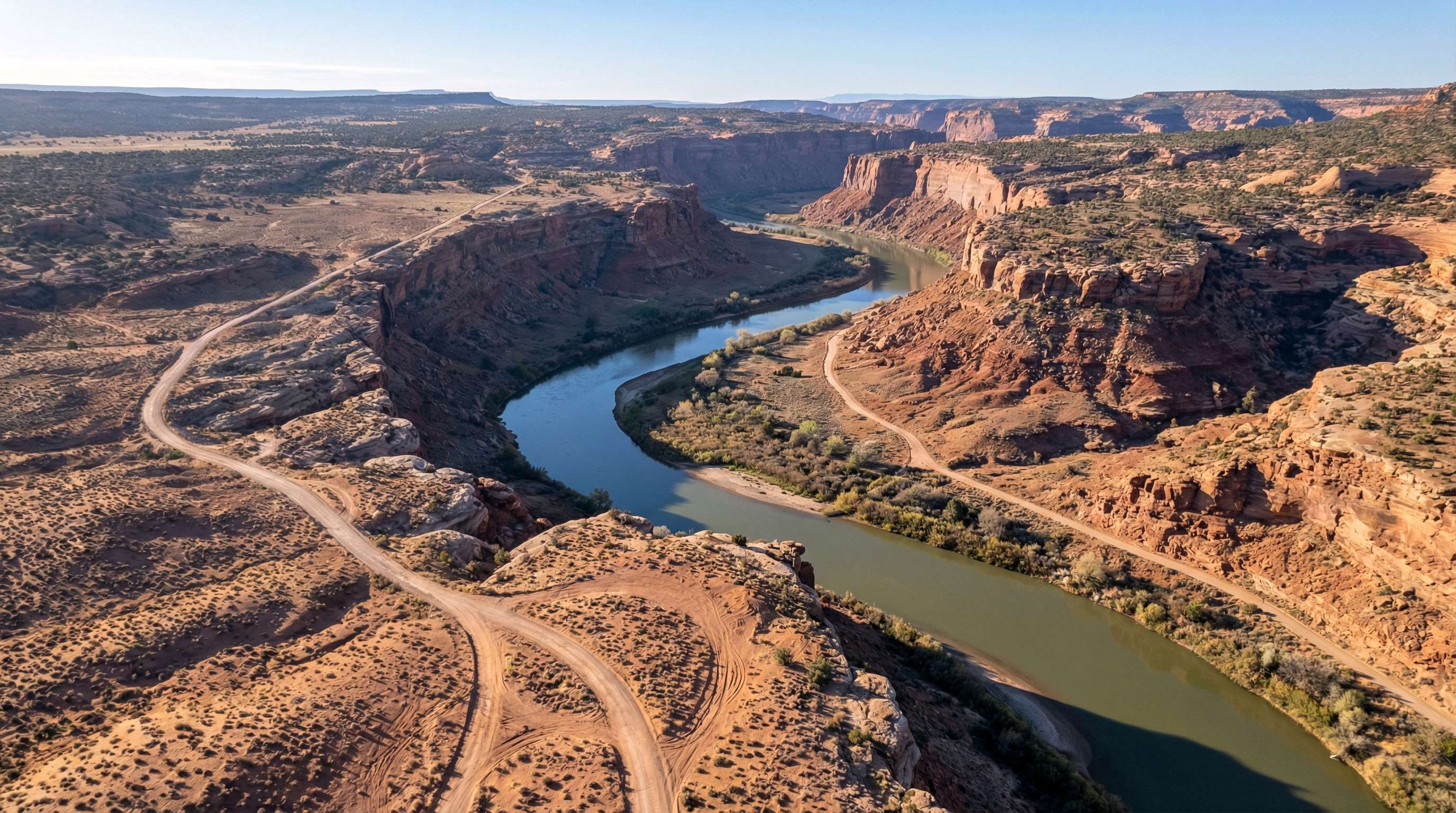
Why Professionals Choose GenAerial
Transform your industry insights workflow with instant, professional aerial imagery
Understand the Shift
AI aerial imagery is growing rapidly in real estate, architecture, film production, and marketing. Understanding where this technology fits helps you make smarter decisions about your aerial photography needs.
New Possibilities
When aerial views cost a fraction of drone photography, you can afford them for every project—not just flagship properties. Volume capabilities change what's economically viable.
Access Anywhere
Generate aerial perspectives of locations where drones can't fly—airports, urban centers, national parks, international sites. No permits, no restrictions, no travel required.
Speed to Decision
Get aerial views in seconds instead of days. When you're evaluating options, creating proposals, or planning projects, speed matters more than photographic documentation.
How It Works
Three simple steps to professional aerial photography
Assess Your Needs
Consider what you need aerial imagery for. Planning, visualization, and marketing often suit AI perfectly. Real-time documentation and video still favor traditional drones.
Match Tool to Task
Use AI for high-volume needs: scouting locations, creating proposals, marketing materials. Reserve drone photography for construction progress, events, and premium hero shots.
Optimize Your Approach
Many professionals use both strategically—AI for 80% of needs (fast, affordable) and drones for the 20% requiring real-time capture or video.
Example Applications
See how GenAerial could transform your industry insights workflow
Real Estate Marketing at Scale
A brokerage wants aerial views for all listings but current drone costs of $400/property limit coverage to high-end homes only
Use AI-generated aerials for standard listings, reserving drone photography for luxury properties where the investment makes sense
Every listing gets aerial imagery, improving overall marketing quality while reducing per-property costs significantly
Architecture Firm Proposals
Firm creates 50 proposals per year but only has budget for drone photography on 10 finalist pitches, missing opportunities to impress clients early
Include AI aerial context views in all proposals, showing how projects fit into their surroundings from day one
Every proposal demonstrates thorough site analysis, with drone photography reserved for projects that progress to detailed design
Documentary Location Planning
Production company needs to scout international locations but drone logistics and permits for 20 countries are prohibitively complex
Use AI to generate aerial perspectives of all potential locations for initial planning and director review
Location decisions made efficiently, with drone crews deployed only to confirmed shooting locations
Everything You Need
Professional features for industry insights
Frequently Asked Questions
Will AI completely replace drone photographers?
No. Drones remain essential for video, real-time documentation, construction progress, and live events. AI is best suited for visualization, planning, and marketing use cases where you need a representative aerial view rather than photographic documentation of current conditions.
When should I use AI vs. hiring a drone pilot?
Use AI when you need speed, volume, or access to restricted areas—scouting locations, creating proposals, marketing materials. Use drones when you need video, current-condition documentation, or premium photography of a specific property.
How does image quality compare?
AI generates high-quality representative aerial views. For visualization and planning purposes, quality is excellent. For legal documentation, insurance claims, or situations requiring proof of current conditions, drone photography provides verifiable documentation.
Can I use AI aerial images commercially?
Yes. GenAerial provides full commercial rights for marketing, websites, presentations, and client materials when subscribed to a paid plan. Check industry guidelines for any disclosure requirements in your specific field.
Experience AI Aerial Photography
See how instant aerial views can transform your workflow