Custom Aerials vs Stock Footage
Stop using the same stock aerials as everyone else. Generate custom aerial views of your exact locations for authentic content that stands out.
The Challenge
Stock footage libraries have the same aerial clips everyone uses. Viewers recognize overused shots, and generic imagery undermines your brand's authenticity. Custom drone photography costs $500-1,000 per location.
The Solution
GenAerial generates custom aerial views of your specific locations—the actual places you're featuring, not generic stand-ins. Create unique imagery that matches your content exactly.
Why Professionals Choose GenAerial
Transform your content creation workflow with instant, professional aerial imagery
Match Your Exact Locations
Don't show generic aerials when you're featuring specific places. Generate views of your actual locations—the resort you're reviewing, the trail you hiked, the neighborhood you're showcasing.
Stand Out with Original Content
Audiences notice when creators use the same stock footage. Custom aerials signal quality and effort, differentiating your content from competitors using generic imagery.
Scale Your Production
Creating content about 50 locations? Generate aerial views for all of them in one session. No need to hire drone operators or source stock for each destination.
Professional Quality, Any Location
Get consistent, high-quality aerial imagery whether you're covering locations across town or across the globe. Same professional look for every piece of content.
How It Works
Three simple steps to professional aerial photography
Gather Your Location Coordinates
Compile GPS coordinates for the locations you're featuring. Use Google Maps, your travel photos' metadata, or simply drop a pin on your destinations.
Generate Custom Aerials
Create aerial views of each location from multiple angles. Match the lighting and mood to your content—golden hour, dramatic clouds, or bright daylight.
Integrate into Your Content
Use your custom aerials as establishing shots, transitions, or B-roll. Export unique imagery that complements rather than duplicates what others are using.
Example Applications
See how GenAerial could transform your content creation workflow
Travel Content Series
A travel creator is producing a 10-part destination series but can't afford drone operators in each location, and stock footage would look generic
Generate custom aerial views of each featured location, matching the actual hotels, viewpoints, and landmarks in the series
Cohesive series with professional aerial coverage of every destination, all matching the creator's actual travel itinerary
Real Estate Video Tours
A videographer needs aerial establishing shots for property videos but drone permits and weather delays cause scheduling headaches
Generate aerial views of each property location to use as video openers and neighborhood context shots
Consistent aerial quality across all property videos, delivered on the client's timeline regardless of weather or permit status
Destination Marketing Campaign
A tourism board needs aerial content of 20 attractions but their budget only covers professional drone work at 5 signature locations
Use professional drone footage for hero attractions and GenAerial for comprehensive coverage of all 20 sites
Complete destination coverage with professional-quality aerials of every attraction, maximizing the impact of limited drone budget
Everything You Need
Professional features for content creation
Frequently Asked Questions
How do these compare to premium stock footage?
The main advantage is specificity. Stock footage shows generic versions of location types; GenAerial shows your actual locations. For content where authenticity matters, custom imagery creates a more compelling viewer experience.
Can I use these for commercial content?
Yes. All GenAerial images come with full commercial rights when subscribed to a paid plan. Use them in monetized videos, sponsored content, client work, and commercial productions without additional licensing fees.
What about locations I haven't visited?
GenAerial works for any GPS coordinate. You can generate aerials of places you're planning to visit, locations you're researching, or destinations you're covering based on others' experiences. Just be transparent with your audience about what you have and haven't personally visited.
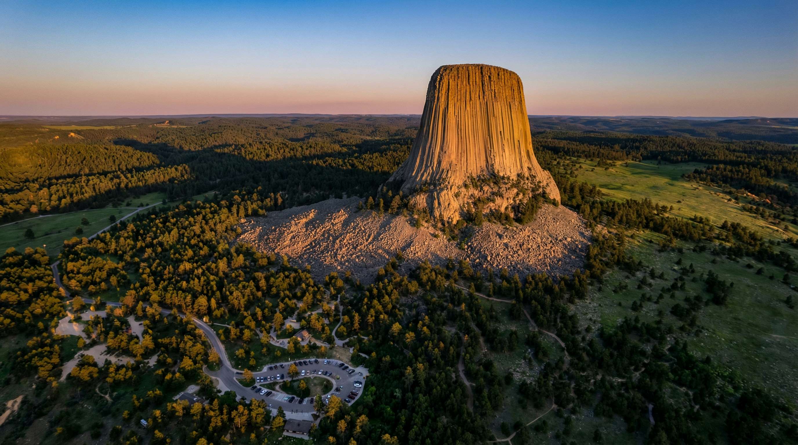
Can I get aerial views of places where drones are banned?
Yes. National parks, urban centers, airports, and other no-fly zones are all accessible through GenAerial. This is especially valuable for content creators covering locations with strict drone restrictions.
Create Custom Aerials, Not Generic Stock
Generate aerial views of your exact locations in seconds